places in Keetmanshoop
Namibia
Keetmanshoop
Keetmanshoop
Administrative Region:
ǁKaras Region
population:
20 977
calling code:
+264-63
postcode:
23001
Location on the map of Namibia
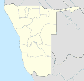
Keetmanshoop
Health
Right Choice abortion clinics
Windhoek, Keetmanshoop
Health
read more
Liquor store
Shoprite LiquorShop Keetmanshoop
5th Ave, Old Mutual Centre, Keetmanshoop
Liquor store
read more
Locality
Keetmanshoop
Keetmanshoop
Locality
read more
School
Logos Christian Academy
26°34'31.6"S 18°07'52., 6th Avenue, Keetmanshoop
School
read more
Krolein Primary School
Keetmanshoop
School
read more
Primere School Keetmanshoop
Keetmanshoop
School
read more
Suiderlig High School
Keetmanshoop
School
read more
Zoe Pre-Primary School - Plot (KLM)
Aruab Road, Keetmanshoop
School
read more
Teachers' Resource Centre TRC
Gordon Street,, Keetmanshoop
School
read more
KEETMANSHOOP JUNIOR SECONDARY SCHOOL
Keetmanshoop
School
read more
Shoe store
Markham
5th Avenue, Namibia
Shoe store
read more
📑
Keetmanshoop all categories
Airport
Bank
Bar
Cafe
Car repair
Cemetery
Church
Clothing store
Doctor
Electronics store
Funeral home
Furniture store
Gas station
Grocery or supermarket
Hair care
Hardware store
Health
Home goods store
Hospital
Jewelry store
Liquor store
Local government office
Locality
Lodging
Museum
Park
Point of interest
Police
Premise
Restaurant
School
Shoe store
Shopping mall
Store
Supermarket
Train station
University
sublocality level 1
↑