Church nearby Jesus Centre Family Church
Namibia
Church nearby Jesus Centre Family Church
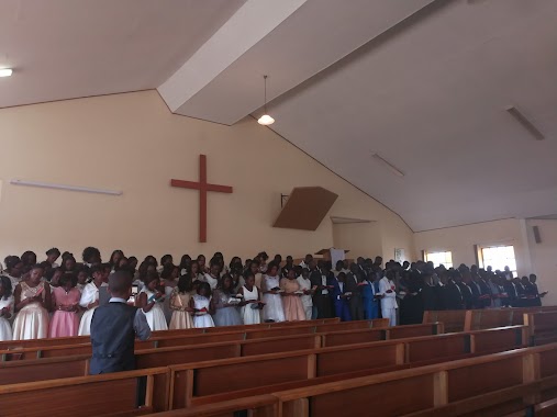
Jesus Centre Family Church
Omuvapu Street, Windhoek, NA Namibia
contacts phone
:
+264 81 439 6035
Latitude:
-22.5072543
, Longitude:
17.0472622
larger map & directions
read more
nearest Church
622 m
ELCIN Immanuel Parish
Windhoek
Church
read more
861 m
Church
Omumborombonga, Windhoek
Church
read more
997 m
Church
Magpela, Windhoek
Church
read more
1.032 km
Church
Wanaheda
Church
read more
1.125 km
Assemblies Of God Church
Windhoek
Church
read more
1.202 km
Church
Dissipel, Windhoek
Church
read more
1.202 km
AFM REVIVAL FOUNTAIN CHURCH
Windhoek
Church
read more
1.371 km
Full Gospel Church
City Street, Windhoek
Church
read more
1.384 km
Soweto Catholic Church
Windhoek
Church
read more
1.516 km
Old Apostolic Church Tempel Street
Testament Street, Windhoek
Church
read more
1.525 km
Old Apostolic Church
Tempel Street, Windhoek
Church
read more
1.579 km
Tocoista Church
City Street, Windhoek
Church
read more
1.61 km
Church of Africa
Windhoek
Church
read more
1.636 km
Namibia Covenant Community Church
erf2787, Zambezi Street, Windhoek
Church
read more
1.801 km
Holy Redeemer Catholic Church
Windhoek
Church
read more
1.832 km
Efesiers Evangelican Lutheran Church
Efesiers Street, Windhoek
Church
read more
1.84 km
Kingdom Hall of Jehovah's Witnesses
772, Zambezi Street, Windhoek
Church
read more
1.971 km
Namibia Primary School
Windhoek
Church
read more
2.17 km
Methodist Church
D. Bohitile, Windhoek
Church
read more
2.227 km
AFM Living Waters Church
Windhoek
Church
read more
2.288 km
Restoration Ministries International
Windhoek
Church
read more
2.305 km
Church
Judika, Windhoek
Church
read more
2.452 km
Saint Daniels Young Methodist Church
Dawid Goraseb Street, Windhoek
Church
read more
2.524 km
Apostolic Faith Church of Portland
Windhoek
Church
read more
2.986 km
OASIS OF MANNA CHURCH NAMIBIA (OMCNAMIBIA)
Hans-Dietrich Genscher Street, Windhoek
Church
read more
📑
all categories
Accounting
Administrative area level 1
Airport
Art gallery
Atm
Bakery
Bank
Bar
Beauty salon
Bicycle store
Book store
Bowling alley
Bus station
Cafe
Campground
Car dealer
Car rental
Car repair
Car wash
Casino
Cemetery
Church
City hall
Clothing store
Convenience store
Courthouse
Dentist
Department store
Doctor
Electrician
Electronics store
Embassy
Establishment
Finance
Fire station
Florist
Food
Funeral home
Furniture store
Gas station
General contractor
Grocery or supermarket
Gym
Hair care
Hardware store
Health
Home goods store
Hospital
Insurance agency
Jewelry store
Laundry
Lawyer
Library
Liquor store
Local government office
Locality
Lodging
Meal delivery
Meal takeaway
Mosque
Movie theater
Moving company
Museum
Natural feature
Neighborhood
Night club
Park
Parking
Pet store
Pharmacy
Physiotherapist
Place of worship
Plumber
Point of interest
Police
Political
Post office
Premise
Real estate agency
Restaurant
Route
School
Shoe store
Shopping mall
Spa
Stadium
Storage
Store
Supermarket
Taxi stand
Train station
Travel agency
University
Veterinary care
Zoo
sublocality level 1
↑